So, I'll describe as best I can, and hope for the best.
After we left Dawson City (vs. Dawson, later visited) we went north, going through Watson Lake, then following the highway as it wandered east, into the Yukon Territory. The road dips back down into BC once or twice before going north again. We camped at Muncho Lake, a glacier-fed long body of water, a greenish blue color.

The remarkable thing that happened here was that Tim took a bath. He put on bathing trunks, waded in to his waist, soaped up and dunked his body, emerging around the same color of the lake. After feeling the water, I decided that I didn't smell that bad after all.
Continuing along, we eventually got to Whitehorse, at which point we examined the map and decided to take the long way into Alaska, and went north towards Dawson. Someone had told us about a lake along the way that had good fishing not far off the highway. Remember, when I say 'highway', I mean a wide dirt/gravel road. Just outside Whitehorse, we stopped overlooking Lake LeBarge, of Robert Service fame. As a boy, I had been fascinated by tales of the north, reading Service and the stories of Jack London. We stopped, looking over the lake and I recited from memory the first couple stanza's of "The Cremation of Sam McGee".

A couple hours further north, we turned east on a four-wheel-drive dirt road, going 10 or so miles to a large, long lake. Ethel Lake had some primitive campground areas, the one we camped at had a large Whitehorse family there canning lake trout, presumably for the winter's fare. They had a large canvas cooking tent where the womenfolk were tending the canning while the men went out and trolled for lake trout, coming back and tossing them out like cord wood onto the beach. I remember a youngish girl fishing from shore, hooking a fish and landing it, then exclaiming "Oh, father. It's just a jackfish..."
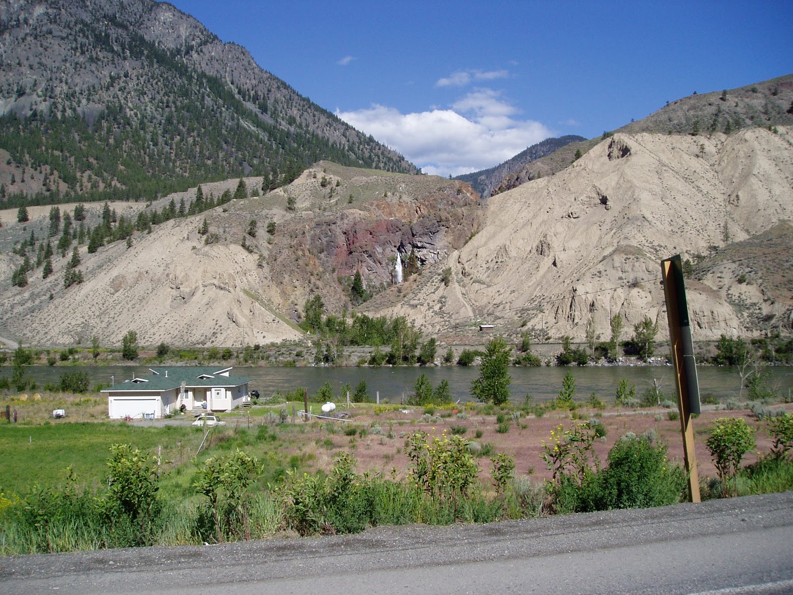
We stayed a day and two nights, Tim caught some fish for dinner, and we hiked around a bit, seeing a few moose.
Ethel Lake:


We continued on north to Dawson, made famous by the gold rush and the novels and poems of Service and London. While there, someone told us about a road the Canadian government was building that eventually would go all the way from near Dawson up to the Arctic Ocean. It went about half-way at that time, there were no settlements or services along the way, and one had to carry enough gas to get up there and back. We filled the tank, topped off the two spare 5-gallon tanks, and started off on the Dempster Highway.
The gravel/dirt road started near Dawson, where the Klondike River enters the Yukon River. Apparently now there is a large sign, and the road while still dirt, has markers, mile post and curve signs. Then it was totally unmarked, except for the odd handmade sign naming the rivers crossed. In the three days were were on it, we encountered fewer than 5 other vehicles.


The road followed the Klondike River north, the first several miles of the valley were still scarred by the placer mining that had taken place in the late 19th century, with old machinery still visible on the river bed.
Around 50 miles north, we were in the Blackstone River valley, with the Oglivie Mountain Range around it.

We camped just off the road near the small river, and grabbed our rods. We carried a shotgun, and along the river saw some grizzly tracks in the sand. The fishing was remarkable....the river was classic riffle and pool structure, and in every pool the first several casts would yield 15 to 20 inch grayling. Beautiful fish with large sail-like dorsal fins. We kept one or two for dinner, not realizing just how bony they would be.
The next morning we continued on, going up over an unmarked pass out into the treeless tundra.


After a day we got to a newer looking bridge, crossing a larger river, with a sign telling us it was the Peel River. We camped there for the night, and saw some ducks in a large pond. I suggested to Tim that he go get us some duck for dinner, thinking he'd jump-shoot a couple. The young man walked to the pond's edge, and promptly ground-sluiced the flock, leaving 4 ducks floating out of reach. He spent the next hour with his spinning rod, fishing them out.

This old cabin was probably a trapper's wintertime abode, and still had some emergency canned goods and matches in a cupboard.
The next morning I put the two spare cans of gas into the Land Cruiser's tank, and we started back south. It felt to me that I had now done what I'd wanted to do since I was 7.......be in and experience the country that London and Service had written so well about, stirring my imagination and wanderlust.
Two summer's later I would be back on this road, and go further, up past the arctic circle. But for now it was on to Alaska.
to be continued.